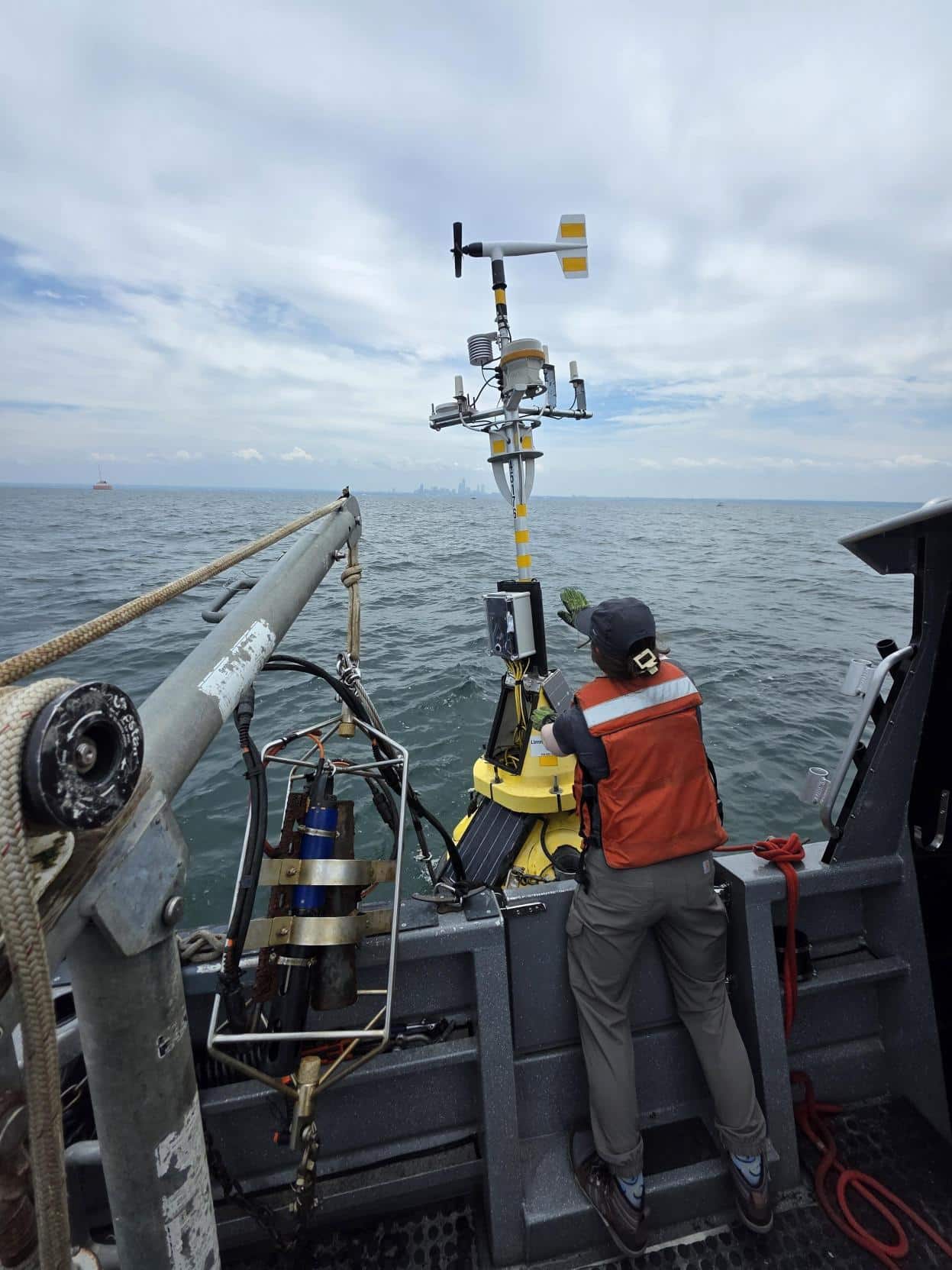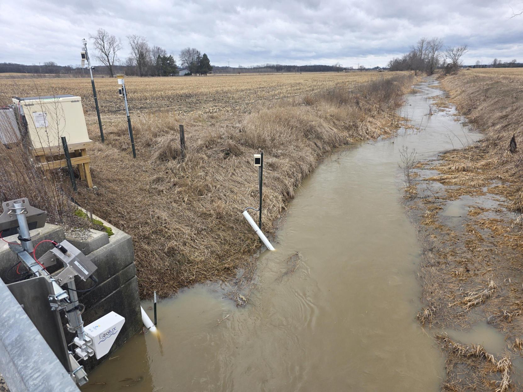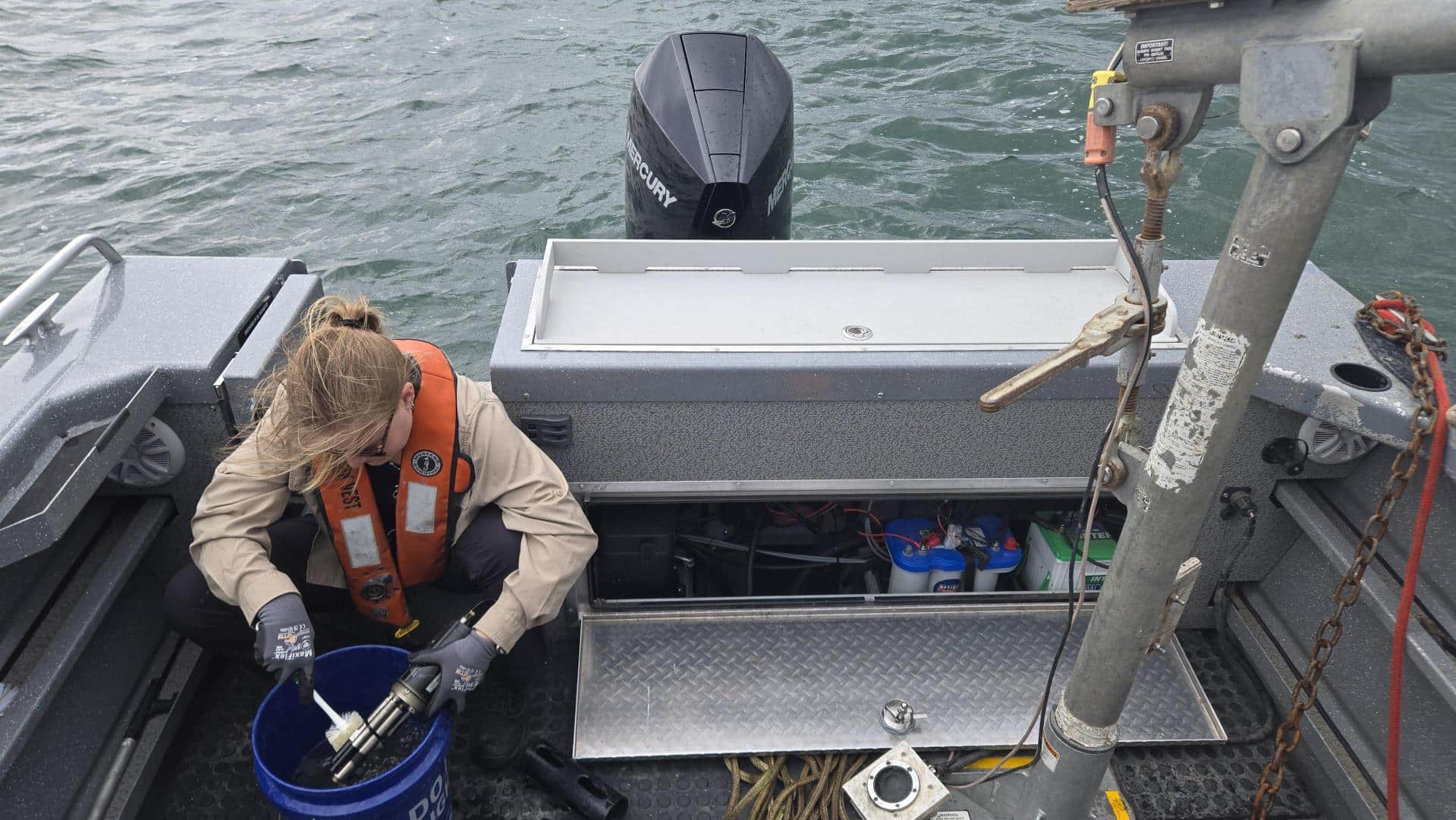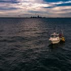
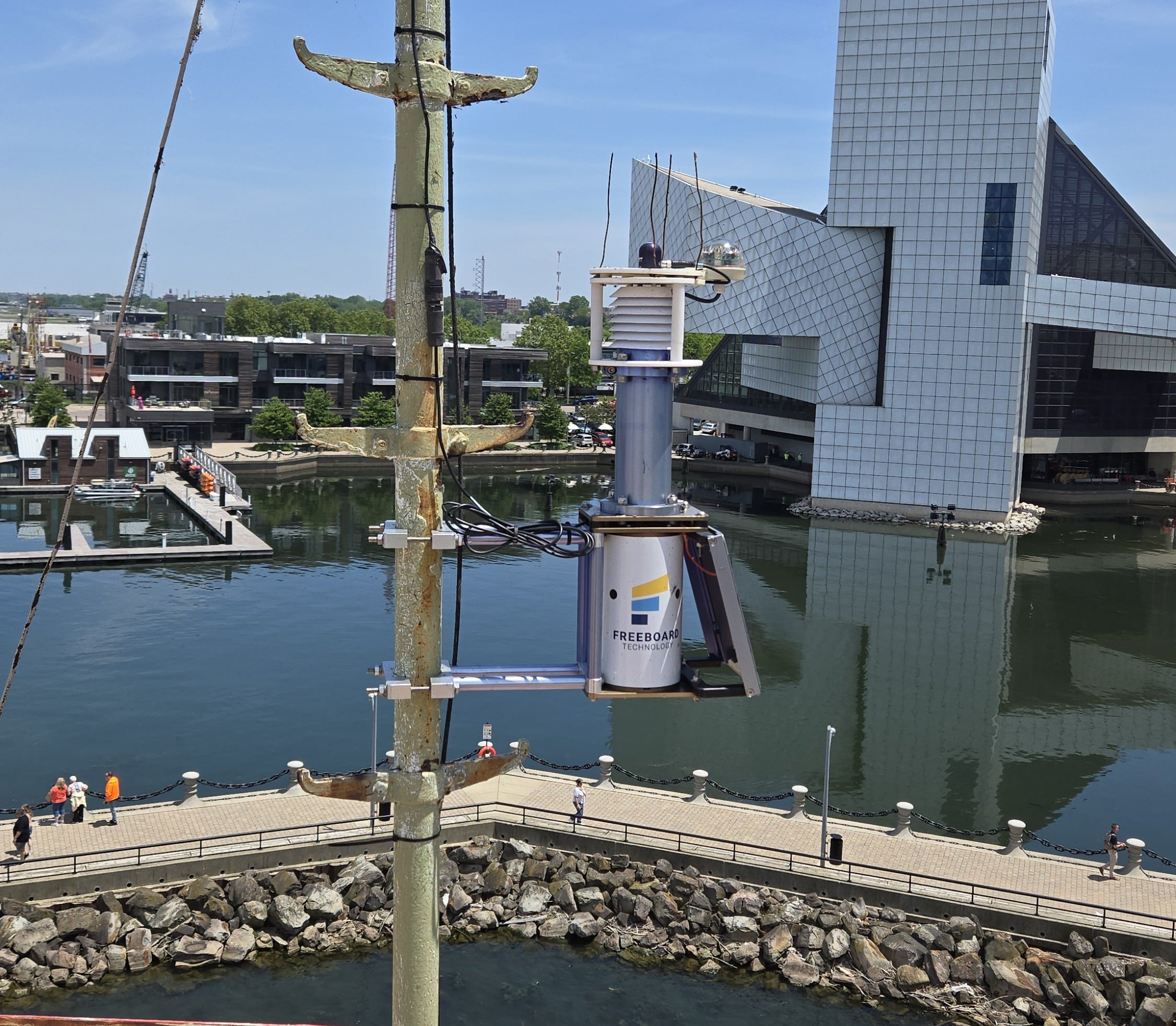
This spring, a network of environmental sensors was deployed across the region to provide real-time monitoring of water and weather conditions. Data collected by these sensors is now streaming online and available for public viewing, giving residents, researchers, educators, and outdoor enthusiasts direct access to current environmental conditions. The information can be used to track changes in water quality, monitor trends over time, and gain insight into localized weather patterns such as temperature, wind, and precipitation. Several of the monitoring stations are installed on buoys, providing valuable lake condition data for boaters and recreational users. By offering near real-time information on water and weather conditions, these buoy-based sensors help visitors make informed decisions about lake safety and determine whether conditions are suitable for boating and other on-the-water activities.
Visitors can explore real-time and historical environmental data by visiting data.freeboard.tech, where sensor observations are displayed through an easy-to-use online dashboard. The website allows users to view current conditions and track trends over time. Whether checking water temperature, water quality indicators, wind speed, or other environmental measurements, the platform provides a valuable resource for anyone interested in understanding local lake and weather conditions. The publicly accessible dashboard helps transform complex environmental data into actionable information for recreation, education, research, and community awareness.
In addition to viewing data online, several of the buoy stations support the Text A Buoy service, which allows users to receive current lake conditions directly on their cell phones. By sending a text message request, boaters, anglers, paddlers, and other lake users can quickly access real-time information from a specific buoy without needing to visit the website. This convenient service makes it easy to check conditions before heading onto the water, providing timely updates that can help users make informed decisions about safety and recreational activities.
This monitoring network will remain in operation through the fall season, continuing to provide valuable environmental data as conditions change throughout the year. The success of this effort is made possible through the collaboration and support of a wide range of partners who share a commitment to environmental stewardship, public safety, and scientific research. We are grateful for the opportunity to work with such a diverse group of clients and stakeholders, including utilities, universities, non-profit organizations, and community partners. Their ongoing support and collaboration help expand the reach and impact of this sensor network, ensuring that high-quality environmental information remains accessible to researchers, resource managers, recreational users, and the public.
We look forward to continuing these partnerships and advancing our shared goal of improving environmental understanding and decision-making across the region.